"Ace". Echoes from the Hobnails of a Vagabond. Photo available "Ace". Echoes from the Hobnails of a Vagabond. Photo available. Carson City. A.C. Newing. 1923. 20 pps. Octavo. Soft cover. First edition. Important reference work. Very scarce in this condition. Fine copy.
Price: $50 |
Book ID: 222096 |
| |
 |
|
|
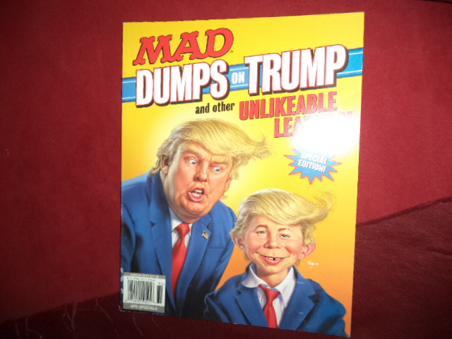
 "The Usual Gang of Idiots". Mad Dumps on Trump and Other Unlikeable Leaders! Photo available "The Usual Gang of Idiots". Mad Dumps on Trump and Other Unlikeable Leaders! Photo available. New York. Mad Books. 2018. 86 pps. 4to. Soft cover. First edition. Illustrated in black, white and color. Very scarce in this condition. Fine copy.
Price: $20 |
Book ID: 199898 |
| |
|
|
|
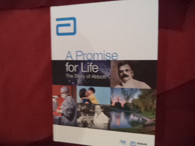
 (Abbott). Abbott. A Promise for Life. The Story of Abbott. Photo available (Abbott). Abbott. A Promise for Life. The Story of Abbott. Photo available. Abbott Park. Self published. 2013. 401 pps. 4to. Decorated hard cover. First edition. Illustrated in black, white and color. Important reference work. Very scarce in this condition. Fine copy. As new.
Price: $50 |
Book ID: 200445 |
| |
|
|
|
 (AC/DC). AC/DC. Family Jewels. Guitar Tablature Edition. Photo available (AC/DC). AC/DC. Family Jewels. Guitar Tablature Edition. Photo available. New York. Amsco. 2005. Folio. Soft cover. First edition. Illustrated in black, white and color. Important reference work. Very scarce in this condition. Fine copy.
Price: $30 |
Book ID: 159797 |
| |
|
|
|
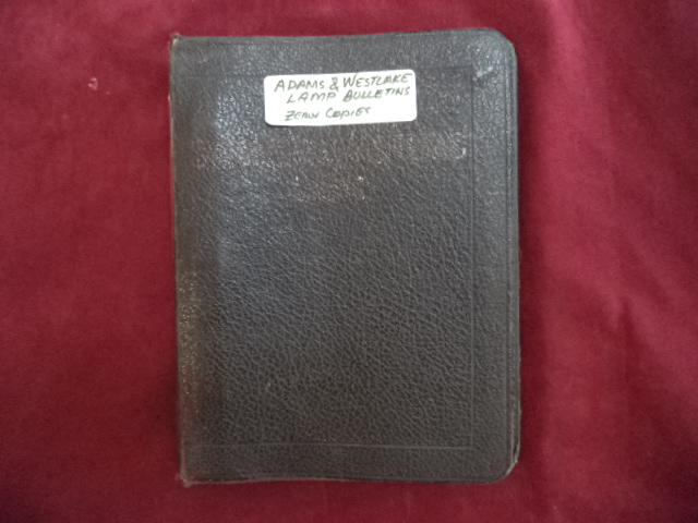
 (Adams & Westlake). 19 Adams & Westlake Company catalogues. Lamps, Semaphores, Switches, Gauges, etc. Photo available (Adams & Westlake). 19 Adams & Westlake Company catalogues. Lamps, Semaphores, Switches, Gauges, etc. Photo available. Chicago. Self published. nd. 95 pps. Octavo. Three-ring binder. Hard cover. Photocopy facsimiles. Illustrated. Important reference work. Very scarce in this condition. Fine set.
Price: $75 |
Book ID: 215014 |
| |
|
|
|
 (Air Force). Use and Installation of Boobytraps. AFM 50-27. Photo available (Air Force). Use and Installation of Boobytraps. AFM 50-27. Photo available. Washington. Department of the Air Force. 1956. Octavo. Soft cover. First edition. Illustrated. Important reference work. Very scarce in this condition. Fine copy.
Price: $40 |
Book ID: 181989 |
| |
|
|
|
 (Alcoholics Anonymous). Best of the Grapevine. Alcoholics Anonymous Photo available (Alcoholics Anonymous). Best of the Grapevine. Alcoholics Anonymous Photo available. New York. The AA Grapevine. 1989. 288 pps. Octavo. Gilt decorated hard cover. Reprint. Illustrated. Important reference work. Very scarce in this condition. Near fine copy (light damp stain bottom of spine) in fine dust jacket (in mylar).
Price: $20 |
Book ID: 223511 |
| |
|
|
|
 (America Type Founders). The Book of American Types. With Supplement. Photo available (America Type Founders). The Book of American Types. With Supplement. Photo available. Elizabeth. American Type Founders. 1941. 191 pps. 4to. Decorated hard cover. First edition. Illustrated. Important reference work. Very scarce in this condition. Supplement in front pocket. Fine copy.
Price: $75 |
Book ID: 217805 |
| |
|
|
|
 (American Association of Avian Pathologists). Avian Diseases. An International Journal Dedicated to Avian Health. Vol. 54, No. 1. Supplement 2010. Photo available (American Association of Avian Pathologists). Avian Diseases. An International Journal Dedicated to Avian Health. Vol. 54, No. 1. Supplement 2010. Photo available. Athens. American Association of Avian Pathologists. 2010. 4to. Soft cover. First edition. Illustrated. Important reference work. Very scarce in this condition. Fine copy.
Price: $25 |
Book ID: 161879 |
| |
|
|
|
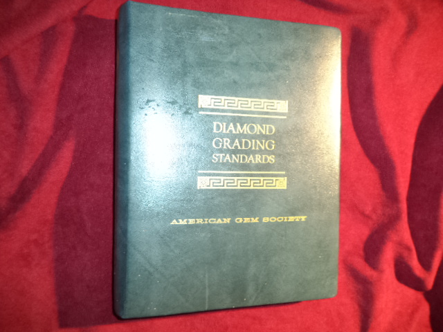
 (American Gem Society. Diamond Grading Standards. Photo available (American Gem Society. Diamond Grading Standards. Photo available. Los Angeles. American Gem Society. 1975. Octavo. Ring binder. Hard cover. Revised edition. Illustrated. Important reference work. Includes C.M. Kgier Co. grading sheets. Very scarce in this condition. Fine copy.
Price: $40 |
Book ID: 197466 |
| |
|
|
|
 (American Guide Series - W.P.A.). Arizona. The Grand Canyon State. A State Guide. American Guide Series. Photo available (American Guide Series - W.P.A.). Arizona. The Grand Canyon State. A State Guide. American Guide Series. Photo available. New York. Hastings House. 1966. 532 pps. Octavo. Hardcover. Reprint. Illustrated. Important reference work. Very scarce in this condition. Fine copy in near fine (light edge wear) dust jacket (in mylar).
Price: $45 |
Book ID: 225416 |
| |
|
|
|
 (American Locomotive Company). Light Locomotives for Domestic Service. Catalog No. 10051. Photo available (American Locomotive Company). Light Locomotives for Domestic Service. Catalog No. 10051. Photo available. American Locomotive Company. nd. 52 pps. Octavo. Soft cover. First edition. Illustrated. Important reference work. Very scarce in this condition. Near fine copy (light stain on front cover).
Price: $45 |
Book ID: 218135 |
| |
|
|
|
 (American Locomotive Company). Prairie Type Locomotives Built by American Locomotive Company. Photo available (American Locomotive Company). Prairie Type Locomotives Built by American Locomotive Company. Photo available. New York. Self published. nd. 40 pps. Octavo. Soft cover. First edition. Illustrated. Important reference work. Very scarce in this condition. Fine copy.
Price: $30 |
Book ID: 214922 |
| |
|
|
|
 (American Rescue Dog Association). Search and Rescue Dogs. Training Methods. Photo available (American Rescue Dog Association). Search and Rescue Dogs. Training Methods. Photo available. New York. Howell Book House. American Rescue Dog Association. 1991. 208 pps. Octavo. Decorated hard cover. Reprint. Illustrated. Important reference work. Very scarce in this condition. Fine copy. As new.
Price: $20 |
Book ID: 220539 |
| |
|
|
|
 (American Water Works Assoc.). Water Treatment Plant Design. Photo available (American Water Works Assoc.). Water Treatment Plant Design. Photo available. New York. American Water Works Assoc. 1971. Octavo. Hardcover. First edition, third printing. Illustrated. Important reference work. Very scarce in this condition. Fine (owner name on end paper) copy.
Price: $20 |
Book ID: 197102 |
| |
|
|
|
 (anon) Brotherhood of Cheerful Service. Centennial Alumni Directory. 100th Anniversary Order of the Arrow. Centuries of Service Directory. Connecting Generations. 2015 Order of the Arrow Directory. 1915 - 2015. Photo available (anon) Brotherhood of Cheerful Service. Centennial Alumni Directory. 100th Anniversary Order of the Arrow. Centuries of Service Directory. Connecting Generations. 2015 Order of the Arrow Directory. 1915 - 2015. Photo available. Irving. Boy Scouts of America. 2015. 1832 pps. 4to. Decorated hard cover. First edition. Illustrated in black, white and color. Important reference work. Very scarce in this condition. Fine copy.
Price: $50 |
Book ID: 219383 |
| |
|
|
|
 (anon) & Barry Moser. The Holy Bible. A Facsimile of the Pennyroyal Caxton Edition of the King James Bible as Illustrated by Barry Moser. Photo available (anon) & Barry Moser. The Holy Bible. A Facsimile of the Pennyroyal Caxton Edition of the King James Bible as Illustrated by Barry Moser. Photo available. New York. Viking Studio. 1999. 4to. Soft cover. Illustrated by Barry Moser. Very scarce in this condition. Very good copy. Holes, stain on 3 internal pages. Light edge wear, corner bumped. Remainder mark on bottom edge.
Price: $25 |
Book ID: 213989 |
| |
|
|
|
 (anon) & Edmund Dulac. Sinbad the Sailor and Other Stories from the Arabian Nights with 23 Full-Color Illustrations by Edmund Dulac. Photo available (anon) & Edmund Dulac. Sinbad the Sailor and Other Stories from the Arabian Nights with 23 Full-Color Illustrations by Edmund Dulac. Photo available. New York. Weathervane Books. 1986. 4to. Gilt decorated hard cover. First edition thus. Illustrated in black, white and color. Important reference work. Very scarce in this condition. Fine copy in fine dust jacket (in mylar).
Price: $40 |
Book ID: 213578 |
| |
|
|
|
 (anon) & Jiri Trnka. Tales from The Arabian Nights. Photo available (anon) & Jiri Trnka. Tales from The Arabian Nights. Photo available. London. Paul Hamlyn. 1960. 73 pps. 4to. Decorated hard cover. First edition. Illustrated in black, white and color by Jiri Trnka. Very scarce in this condition. Fine copy.
Price: $30 |
Book ID: 219305 |
| |
|
|
|
 (anon) W.W. Hutchinson (introduction). Reproduction of Wells' and Chambers' History of Butte County, California. And Biographical Sketches of Its Prominent Men and Pioneers. 1882. Photo available (anon) W.W. Hutchinson (introduction). Reproduction of Wells' and Chambers' History of Butte County, California. And Biographical Sketches of Its Prominent Men and Pioneers. 1882. Photo available. Berkeley. Howell-North. 1973. 303 pps. 4to. Gilt decorated hard cover. First edition thus. Illustrated. Important reference work. Very scarce in this condition. Fine copy in fine dust jacket (in mylar). As new.
Price: $75 |
Book ID: 208865 |
| |
|
|
|
 (anon). "Annie & Mary" Railroad. The Western Railroader. Vol. 32, No. 8. Photo available (anon). "Annie & Mary" Railroad. The Western Railroader. Vol. 32, No. 8. Photo available. San Mateo. The Western Railroader. August, 1969. Octavo. Soft cover. First edition. Illustrated. Important reference work. Very scarce in this condition. Fine copy.
Price: $25 |
Book ID: 214433 |
| |
|
|
|
 (anon). "Dear Charlie" Letters. Recording the Everyday Life of a Young 1854 Gold Miner... As Set Forth by Your Friend, Horace Snow. Photo available (anon). "Dear Charlie" Letters. Recording the Everyday Life of a Young 1854 Gold Miner... As Set Forth by Your Friend, Horace Snow. Photo available. Fresno. Pioneer Publishing Co. 1979. 118 pps. Octavo. Pictorial soft cover. First edition. Illustrated. Important reference work. Very scarce in this condition. Fine copy.
Price: $20 |
Book ID: 203838 |
| |
|
|
|
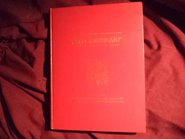
 (anon). "Sold American!" - The First Fifty Years. The American Tobacco Company. Photo available (anon). "Sold American!" - The First Fifty Years. The American Tobacco Company. Photo available. np. The American Tobacco Company. 1954. 144 pps. 4to. Gilt decorated hard cover. First edition. Illustrated in black, white and color. Important reference work. Very scarce in this condition. Near fine copy (spine tip chipped).
Price: $20 |
Book ID: 197868 |
| |
|
|
|
 (anon). "The Last Rail is Laid!" The Last Spike is Driven. The Pacific Railroad is Completed!" One Hundred Years. The Western Railroader. Vol. 32, No. 4. Photo available (anon). "The Last Rail is Laid!" The Last Spike is Driven. The Pacific Railroad is Completed!" One Hundred Years. The Western Railroader. Vol. 32, No. 4. Photo available. San Mateo. The Western Railroader. April, 1969. Octavo. Soft cover. First edition. Illustrated. Important reference work. Very scarce in this condition. Fine copy.
Price: $25 |
Book ID: 214271 |
| |
|
|
|
 (anon). "The Tres Pinos Line". The Western Railroader. Vol. 36, No. 398. Photo available (anon). "The Tres Pinos Line". The Western Railroader. Vol. 36, No. 398. Photo available. San Mateo. The Western Railroader. June, 1973. Octavo. Soft cover. First edition. Illustrated. Important reference work. Very scarce in this condition. Fine copy.
Price: $25 |
Book ID: 214377 |
| |
|
|
|